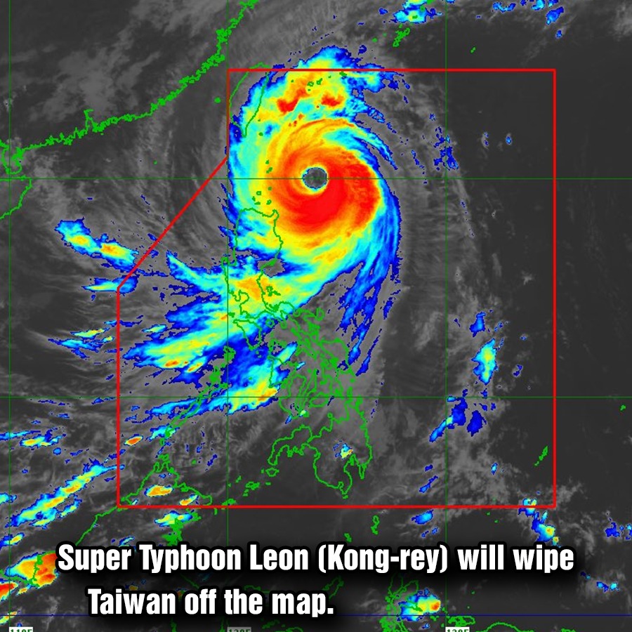
On Tuesday night, meteorologist Noah Bergren of TV station WOFL in Orlando, Florida, commented on the size of the storm’s eye.
“Super Typhoon Kong-rey is easily one of the largest eye’s in a major tropical system you will ever see on Earth,” Bergren posted on X (formerly Twitter). “Thing is absolutely massive.”
 A wave crashes outside of Fugang Harbor in Taitung, Taiwan, ahead of Typhoon Kong-rey on Wednesday. The storm is expected to make landfall in Taiwan early Thursday morning. Annabelle Chih/Getty
AccuWeather senior meteorologist Alan Reppert told Newsweek that having a large eye doesn’t necessarily imply anything about the storm’s strength.
“It just means the winds with it are farther away from the center than if it was a smaller eye,” he said. “It doesn’t necessarily have any major defining characteristic of the storm.”
Reppert added that a stronger storm that’s been around longer usually has a wider eye than a newer storm.
Most spaghetti models—or computer models illustrating potential storm paths—show Kong-rey making landfall on Taiwan’s southeast coast and cutting across the island before emerging with maximum sustained winds of around 75 mph. Models indicate that the typhoon will exhibit a northeastern turn away from China, which will take it out to the East China Sea.
Kong-rey’s strength is uncharacteristic for this time of year, The New York Times reported, adding that the typhoon is expected to make landfall equivalent to a Category 4 hurricane.
Reppert warned that strong winds up to 140 mph with higher gusts could hit southern Taiwan, though the storm is expected to weaken as it moves over the island. An AccuWeather report warned of “significant structural damage, mudslides and landslides” from the storm, as up to 3 feet of rain is expected to lash Taiwan. The storm could either maintain its intensity or strengthen before it makes landfall early Thursday.
Eastern China and Japan also are expecting heavy rain as the storm progresses.
A typhoon is classified as a severe tropical cyclone occurring in the Northwest Pacific. A hurricane is the term for the same type of storm in the Northeast Pacific and Northern Atlantic. Outside of these regions, the storms are called tropical cyclones.


Leave a Reply